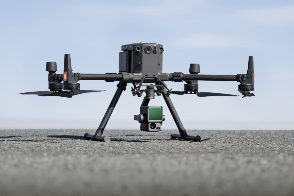
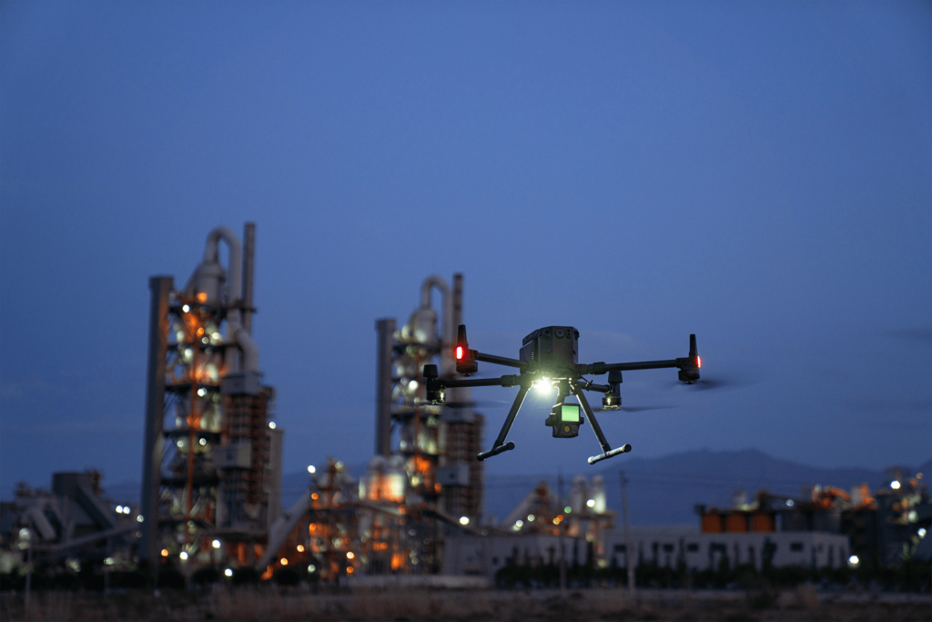
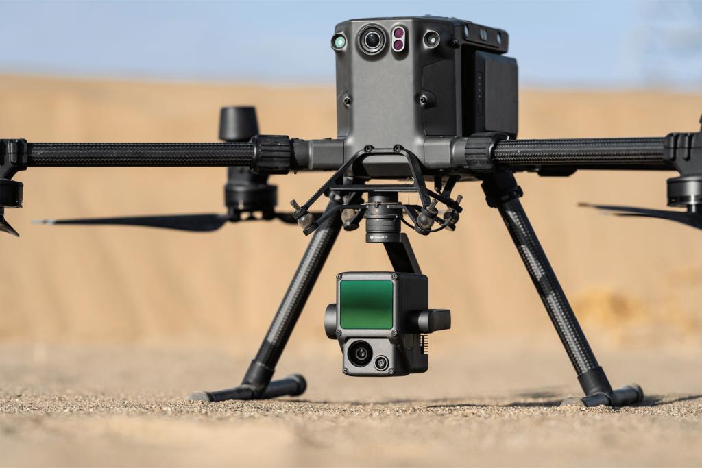
Experience the next frontier of drone technology with our cutting-edge drone-based LiDAR solutions.
Unlock a new realm of possibilities as our advanced LiDAR sensors revolutionize the way you capture and analyze data from above. Harness the power of precision, speed, and accuracy to transform your aerial surveys, mapping, and 3D modeling projects.
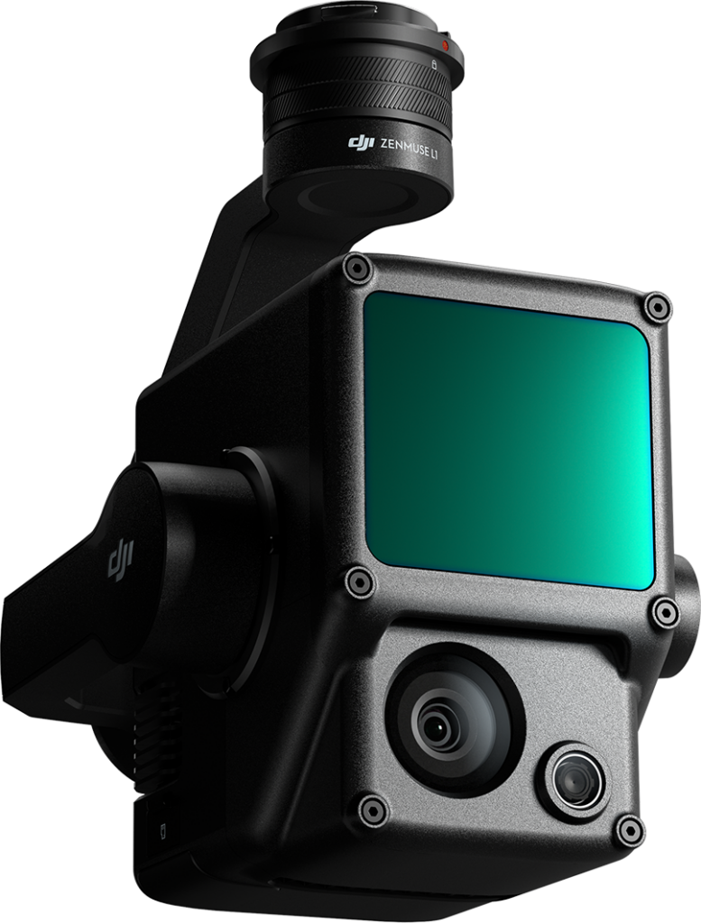
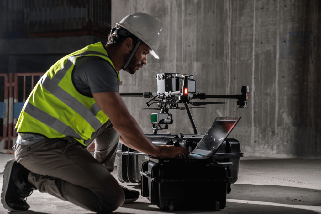
With our drone-based LiDAR systems, you can effortlessly gather detailed, high-resolution data from even the most challenging terrains. Say goodbye to manual measurements and hello to unprecedented efficiency. Our LiDAR technology utilizes laser pulses to accurately measure distances and create highly accurate 3D models of the environment, capturing intricate details with unmatched precision.
One of the standout advantages of drone-based LiDAR is its ability to capture vast areas in a fraction of the time it would take with traditional surveying methods. Accelerate your project timelines and boost productivity with rapid data acquisition capabilities that our LiDAR systems offer. Plus, the comprehensive data sets generated can be seamlessly integrated into your existing workflows, empowering you to make informed decisions with confidence.
REQUEST INFO
One of our specialists will get back to you within 24 hours.