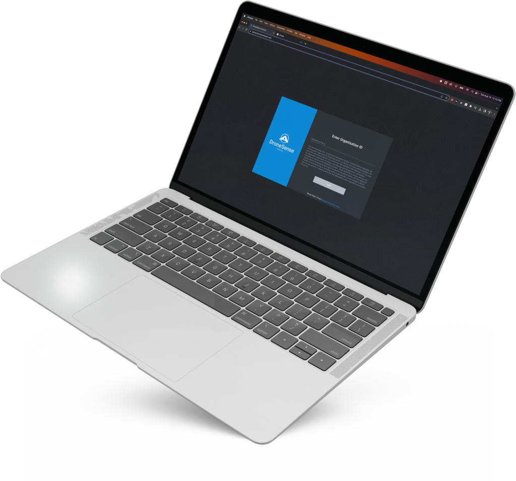
Meet DroneSense
Understanding the positive impact drones have when leveraged by different public safety agencies, DroneSense acts as a force-multiplier, providing the most advanced data platform on the market and empowering agencies to make quicker and more informed decisions.
From routine calls to disaster response, DroneSense provides the platform, support, and tools you need to succeed.
Leveraging the Power of Technology to Improve Public Safety Outcomes
Using DroneSense, public safety teams can obtain a comprehensive view of every evolving situation, creating a deeper understanding of the environment and identifying potential hazards before they escalate into major problems.

Law Enforcement
Designed for every service level from local, state, and federal law enforcement agencies, DroneSense can help you successfully use drones to aid with crimes-in-progress, accident and crime scene reconstruction, SWAT operations, large event overwatch, and more.
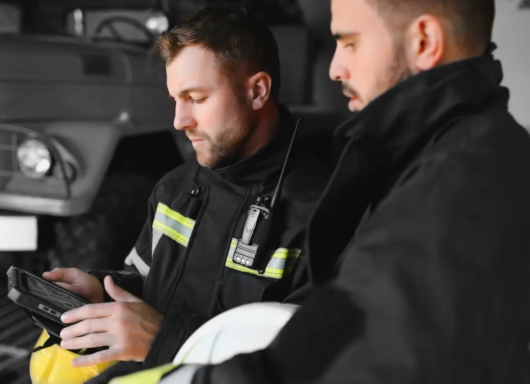
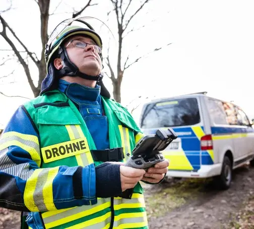
Fire & Rescue
The use of drones in fire service support has become immeasurable. DroneSense can assist fire and rescue agencies of all sizes in integrating drones to support activities such as pre-fire planning, identifying hot spots, overseeing live scenes, creating post-fire maps, and conducting search and rescue operations.
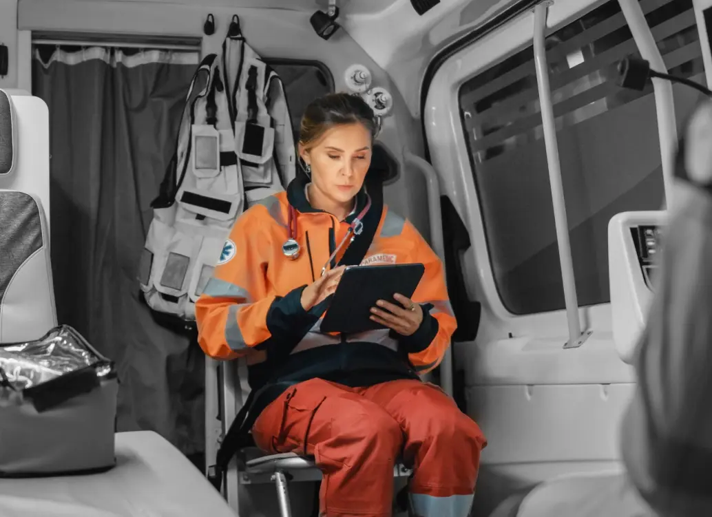
Emergency Management
Whether you want to expand your capabilities over a large area, or assist victims in tandem with rescue personnel, DroneSense can help coordinate your drone teams to effectively respond to a variety of emergency situations
Built for the Entire Team
DroneSense offers assistance to every tier within your organization, spanning from pilots to administrators, elevating the overall efficiency of your safety drone program.
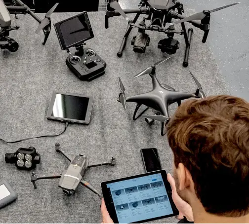
DroneSense for Pilots
A Powerful, Intuitive App for
Any Drone in Your Fleet
Take control of your missions with a consistent flight control interface, automatic flight logging, and remote live streaming.
Clear Telemetry
View pertinent telemetry data including height (MSL, AGL, and HAT), speed, relative drone position and orientation to pilot, and gimbal angle.
Extensive Sensor Support
Use the best visual or thermal camera for any operation. Toggle between sensors and access features unique to each, like zoom controls and thermal palettes.
Persistent Map View
Maintain awareness of your aircraft’s position and orientation at all times, even while viewing the full
video screen.
DroneSense for Operations
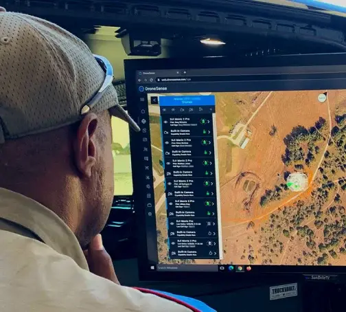
Complete Situational Awareness
Better decisions lead to better outcomes. With secure access to live data, your command center can pull data from multiple sources into one central and easy-to-use application.
Collaborative Missions
Use email and text to invite other organizations to your missions without giving them access to your DroneSense account.
Fast and Secure
Low latency, end-to-end encrypted, real-time video streaming of an unlimited number of aircraft and devices.
DroneSense for Administrators
Make Drone Program Paperwork
a Thing of the Past
Easily organize your people, flights, missions, and hardware using the DroneSense complete system of record. Gain immediate insights through high-level data visualizations, and dive into specific details as required to track and monitor ongoing activities.
Accountability and Transparency
Track essential pilot and mission information and generate reports effortlessly at the touch of a button.
Robust Sorting and Filtering
Use detailed sorting and filtering choices to swiftly and conveniently locate the precise drone program data you require, including flights, personnel, hardware, and other information.
Map and Calendar Views
Gain a clear visual understanding of your drone program by utilizing map and calendar views to understand the timing and locations of drone flights and other activities.