Search
Close this search box.

MINING

Streamline mining operations with aerial surveys, geological mapping, stockpile monitoring, and safety inspections using advanced drone technology.

Drones can be used for many aggregate and mining applications, ranging from Volume Reports within 3% Accuracy to Contour Site Mapping, as well as Cut and Fill Analyses.

With Unmanned Aerial Vehicles (UAV) or Drones, you are able to gather accurate volumetric calculations for your organization without putting your survey crews at risk or affecting your production. Technique and software enables us to use all points in a UAV elevation model to collect data and perform a volume calculation.

If you have completed a Stockpile Volume Survey in the past using traditional methods, you likely realize that the process can be time consuming, and in some cases, dangerous. Whether you need to measure the stockpile volume of asphalt, aggregate, coal, or anything else in your inventory, this technology is quick, safe, and convenient.

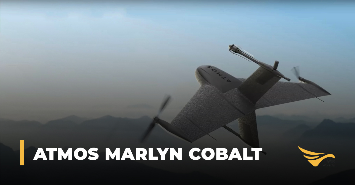
The Marlyn Cobalt is a PPK-enabled hybrid — VTOL (Vertical Take-Off and Landing) fixed-wing drone designed for absolute accuracy and speed.

Read More »
At Volatus Drones, we recognize each industry faces unique challenges and requirements when choosing the perfect drone.
With an in-house team of drone experts with real-world mission experience across every sector, we can help you identify the best drone platforms and solutions that align with your specific goals.

REQUEST INFO

One of our specialists will get back to you within 24 hours.

Please enable JavaScript in your browser to complete this form.
Name
Inquiry Type
Select all that apply