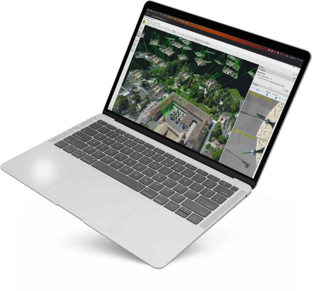
Pix4D is the industry leader in professional drone mapping and photogrammetry software, providing end-to-end solutions that are meticulously engineered to enable individuals to effortlessly generate their own dynamic 3D maps of changing environments. Whether sourced from manual captures, drones, or aircraft, images swiftly undergo automated conversion into precisely georeferenced 2D mosaics, intricate 3D models, and detailed point clouds.
Pioneering Image-Based Technology for All Industries
With a seamless blend of innovation and accuracy, Pix4D software transforms ordinary images into remarkable 3D maps and models that meet the highest industry standards. Whether capturing intricate terrain details, analyzing construction progress, or conducting thorough environmental assessments, Pix4D’s advanced capabilities ensure that the outputs contain the data, precision, and reliability needed for critical decision-making and professional applications.
Quickly generate survey-grade 3D maps and models from a diverse range of images, enabling you to unlock a new dimension of precision and detail in your deliverables. Pix4D empowers you to navigate complex terrains and capture intricate spatial data with ease, streamlining your workflow and approach to surveying and mapping tasks.
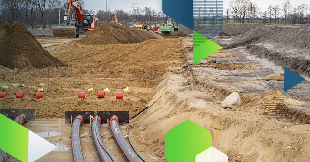
Energy, Utilities, & Infrastructure
Leverage state-of-the-art photogrammetry and cutting-edge analytics with Pix4D. Make smarter business decisions with actionable insights derived from comprehensive data analysis, enhancing your strategic advantage within the energy, utilities, and infrastructure domains.
Precision Agriculture
Experience the future of precision agriculture with the Pix4D hybrid approach, seamlessly integrating drone and satellite mapping technologies. From crop scouting and trial plot management to precision variable rate application, Pix4D redefines how you use data to cultivate success.
Architecture, Engineering, & Construction
Leverage both ground-level and aerial imagery to effortlessly map, quantify, analyze, and generate progress reports for your projects.
Public Safety & Forensics
Modernize your approach to public safety and forensic operations by seamlessly converting images into meticulously detailed 2D and 3D models. Empower first responders with the precision of highly accurate maps, enabling them to navigate emergencies with pinpoint accuracy.
Telecommunications
Provide industrial inspectors with a secure means to assess towering, distant, or expansive assets, including cell towers, high-voltage power lines and pylons, wind turbines, and solar arrays, with uncompromised safety and efficiency.
Discover the Next-Level of Photogrammetry Software with Pix4D
Next generation photogrammetry software for professional drone and terrestrial mapping.
Pix4Dsurvey
Bridge the gap between photogrammetry and CAD.
Pix4Dcloud
The online platform for ground and drone mapping, progress tracking, and site documentation.
Pix4Dmapper
The leading photogrammetry software for professional drone mapping.
Pix4Dreact
Designed for the public safety and emergency response sector, Pix4Dreact creates 2D maps from drone images. It is fast, easy to use, affordable, and lightweight enough to run on any laptop in the field.
Pix4Dfields
Create precision agriculture maps using the only hybrid mapping software solution for agriculture based on knowledge from farmers, agronomists, and researchers.
At Volatus Drones, we recognize each industry faces unique challenges and requirements when choosing the perfect drone.
With an in-house team of drone experts with real-world mission experience across every sector, we can help you identify the best drone platforms and solutions that align with your specific goals.